Virtual Reality Model Language (VRML) programs provide dynamic
display of
three-dimensional shapes using VRML viewers and Internet browsers.
Below are a series of files portraying bedrock strata and fractures, some
of which are water-bearing
features in bedrock aquifers. These images and VRML files were generated as
part of NJ Geological
Survey fractured-bedrock aquifer research. For more information regarding
these data and methods
contact gcherman56@yahoo.com.
Click on a link below for a zip file containing
the VRML scenes.
Once the zip file contents is extracted to a directory, click on
scene1.wrl.
You must have a VRML viewer installed such as the
Octaga
player to view the WRL files in
3D
.
Click on an image to see a GIF animation of the VRML files.
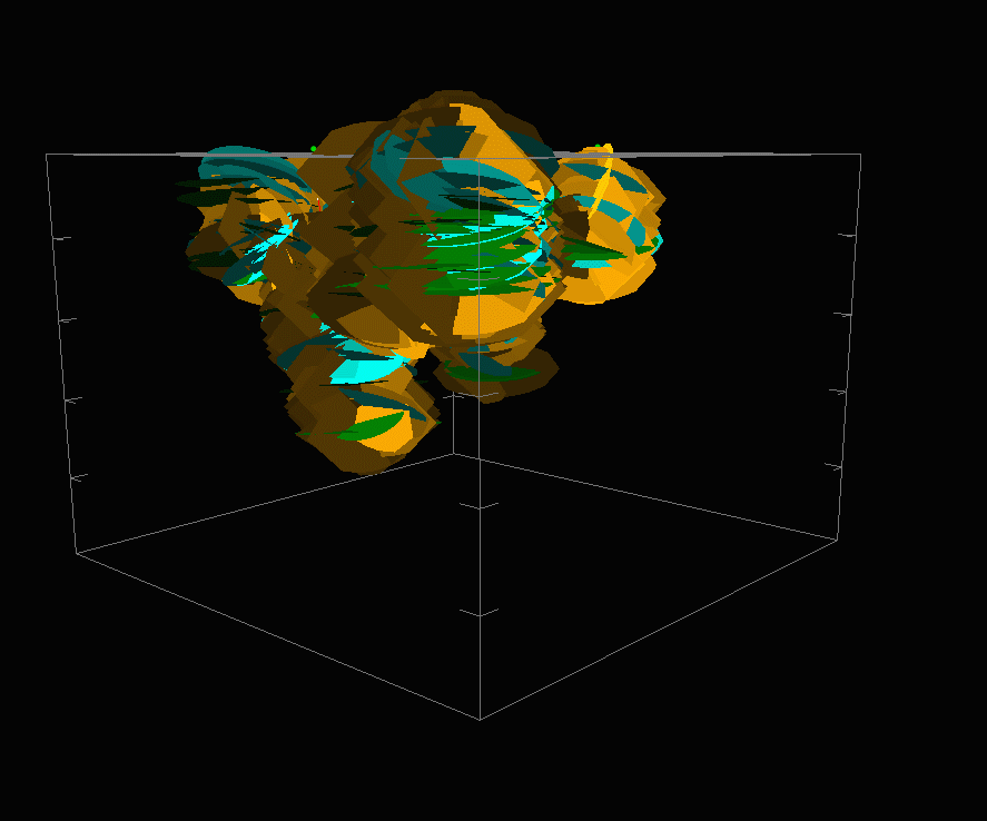
Two wells in
Brunswick aquifer
sandstone near
Pittstown, NJ.
Ellipses
are 200 ft long by150 ft wide.
Grid tick are 100 ft. Grid
arrow points North. |
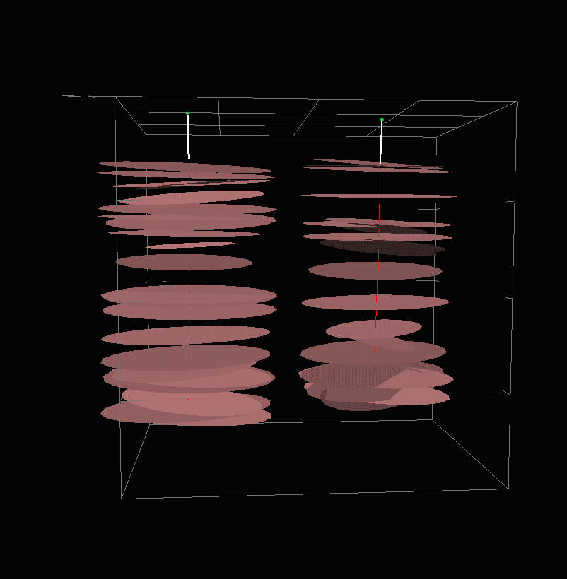
Bedding
planes |
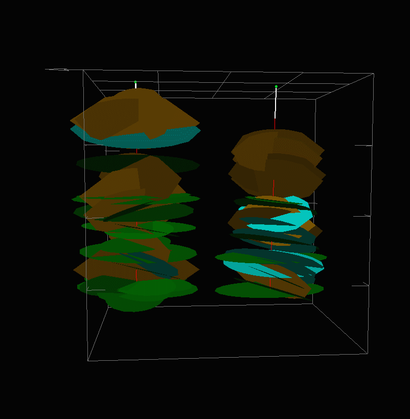
Green dips <30o
Blue dips 30-60o
Orange dips 60-90o
Brittle fractures
|
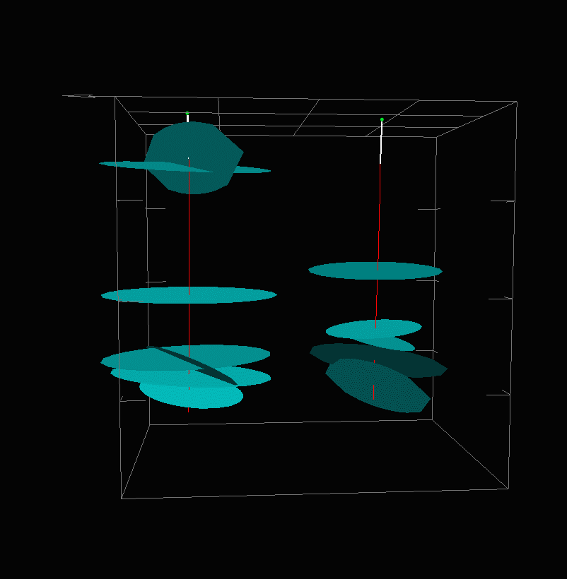
Water-bearing
planes
|
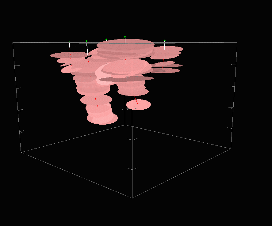
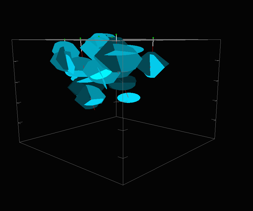
Eight wells in
Brunswick aquifer
mudstone, Stony
Brook Watershed
Preserve,
Hopewell Twp, NJ.
Ellipses
are 200 ft long by150 ft wide.
Grid tick are 100 ft. Grid
arrow points North. |
|
|
|
|
|
|
|
| Rev 20090114 GCH |
10/30/2028 |
|
|