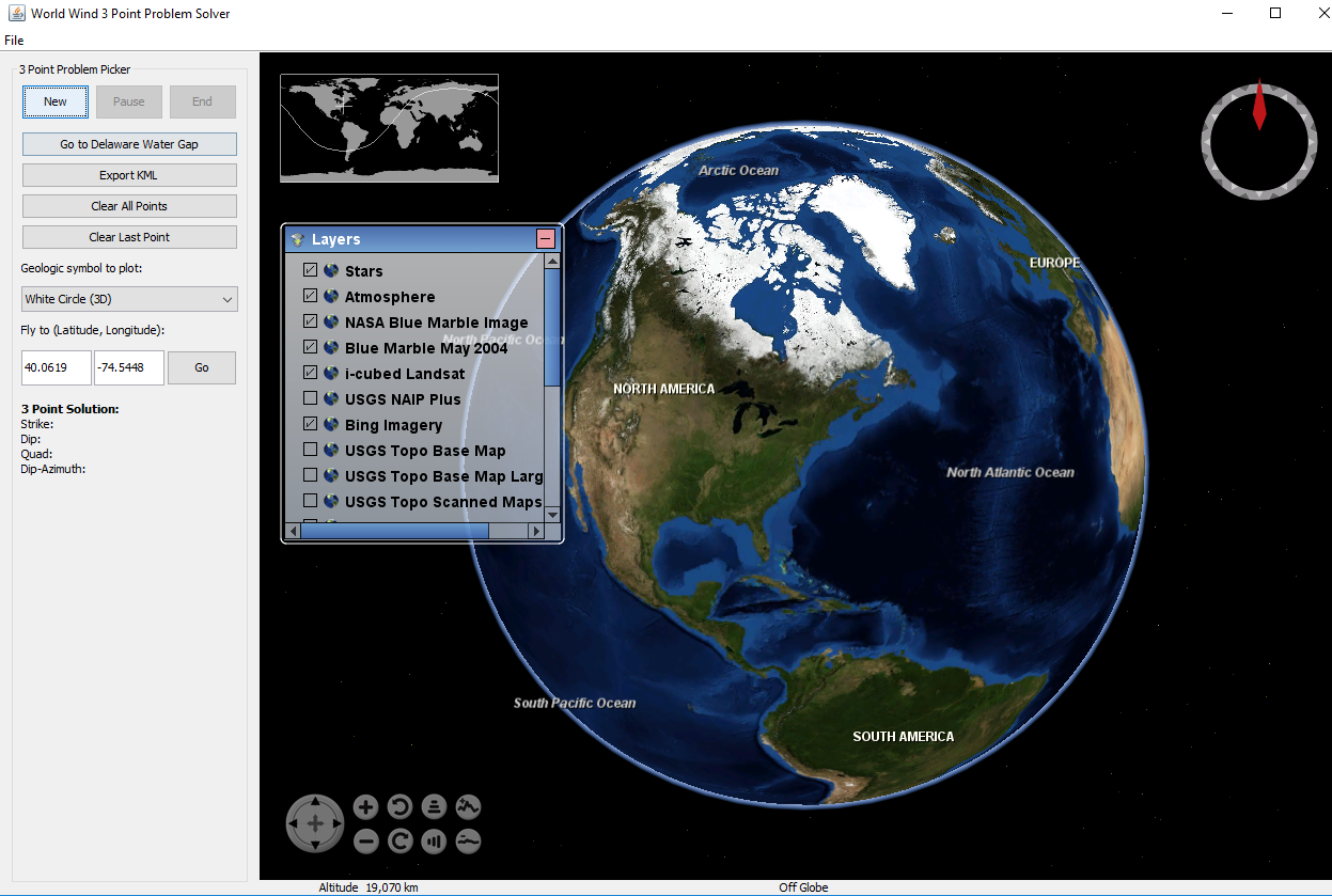
NASA World Wind Dynamic 3-Point Problem Solver
The plane solver is an interactive tool that solves a 3 point problem and plots geological symbols in proper dip/dip-azimuth form. This is a desktop based version of the 3-point problem solver. It requires Java and is based off of NASA's Globe Viewer SDK called World Wind (WW).
Click on an image for more detail
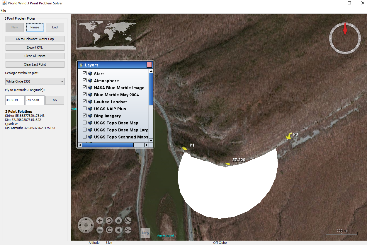
This tool uses the WW three-dimensional
(3D) virtual globe for calculating the 3D orientation of
inclined (dipping) geological planes that intersect the Earth’s
surface and are visible, or not masked by infrastructure,
foliage, or surficial cover. Using this tool, a user
interactively picks three points on the trace of a bed form, or
other visually identifiable geological plane, and the tool
extracts the 3D coordinates from the WW spatial reference frame, computes
the dip angle and dip direction of the plane based on the input
points, then places either a two-dimensional (2D) map symbol or
flat, 3D disks at the second point of input along with dip
(0-90) and dip azimuth (0-360) notation. The scale of the symbol
is determined automatically by the spacing of the input points.
The user can generate multiple symbols during a single session
that can be exported in a KML/KMZ format. Details of the
incorporated mathematics are covered in the Help Docs.
To begin using this tool you must download the ZIP
file containing the executable and a library folder containing
associated files. Extract the ZIP. The executable .jar file must
reside in the same folder as the library folder in order to
work. Upon downloading, double click the .jar to begin using it.
Help Docs
Download
 (34.4 MB)